THE PATAPAT VIADUCT in Pagudpud
Photos and story by Art G. Valenzuela
I have always imagined and dreamed about this place in my teen years in the 1950s when I saw images above the fold of a Manila-based newspaper of veteran bicycle marathoners of the old “Tour of Luzon” riding with great difficulty over the old and challenging Patapat Viaduct (then called “Patapat Crossing”) which was then a rough gravel and boulder highway that was a cut-out road from the mountainside in the northernmost tip of Luzon.


That stage of the bicycle race was the Laoag City to Tuguegarao stage, a punishing and most difficult part of the race. That was then.
Decades later, in 2014, 2017 and 2018 I made “sentimental” visits to this landmark of the North, the 1.3-kilometer long bridge that links Ilocos Norte and Cagayan provinces. In each visit, we crossed over from our resort in Pagudpud to Sta. Praxedes, the first town in Cagayan province and had lunch in a modest restaurant after which we always headed back to Pagupud. Here are some of the photos I shot over the span of those three visits.
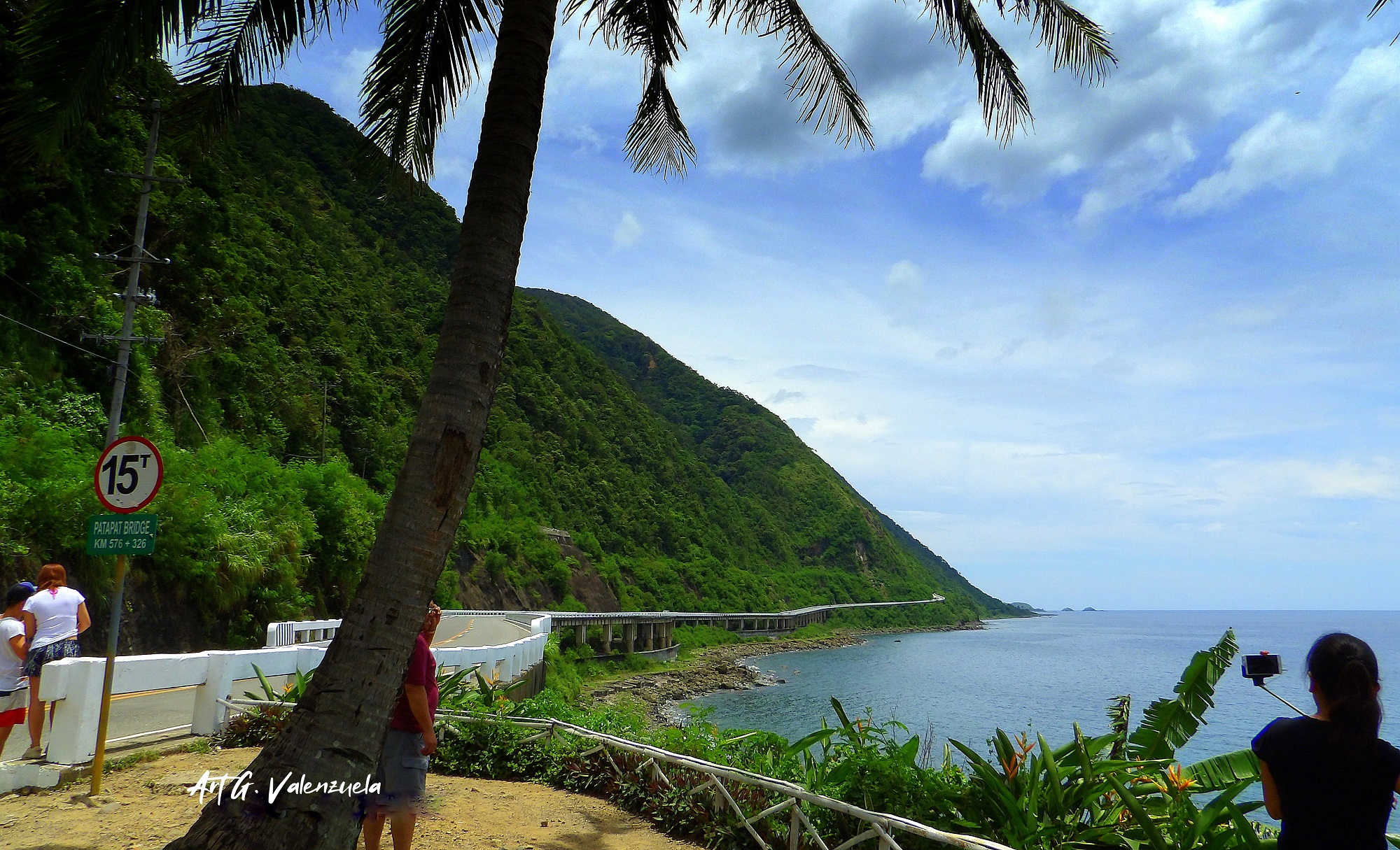
“The Patapat Viaduct, also known as Patapat Bridge, is a viaduct at the municipality of Pagudpud, Ilocos Norte, a coastal resort town on the northernmost tip of Luzon Island in the Philippines.
“The bridge is elevated 31 meters (102 ft) over sea level. It is a concrete coastal bridge 1.3 (kilo)meters and (4 ft 3 in) long (to be exact), 9.42 meters (30.9 ft) wide, and connects the Maharlika Highway from Ilocos Region to Cagayan Valley. The viaduct was constructed by Hanil Development Co. Ltd. under the overall management of DPWH-PMO-PJHK and was completed and opened to traffic in October 1986. It rises along the town’s coastal mountains, which is the starting point of the Cordillera Mountain Range that snakes through Northern Luzon. It is the 4th longest bridge in the Philippines.” (Additional information from Wikipedia)